
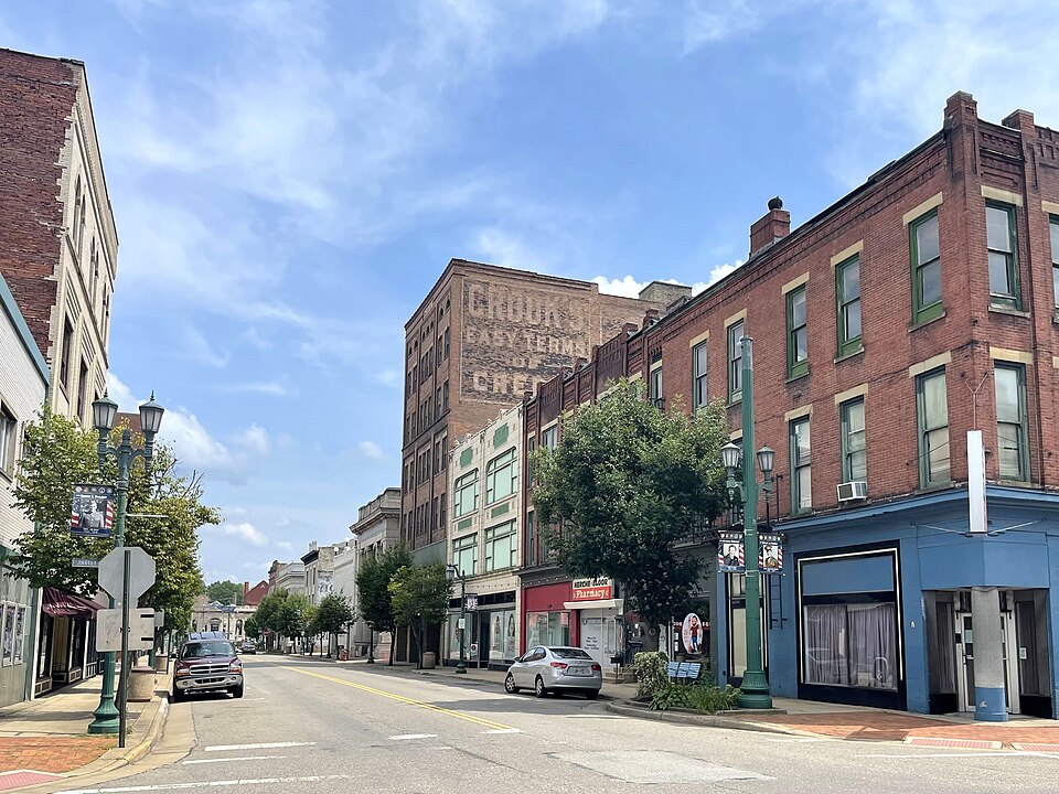
East Liverpool is a city in Columbiana County, Ohio, United States. The population was 9,958 at the 2020 census. It lies along the Ohio River at the convergence of the Ohio, Pennsylvania, and West Virginia borders, about 30 miles (48 km) from both Pittsburgh and Youngstown. The city is most notable for its pottery industry, which was at one time the largest in the US.
At a Glance
- County: Columbiana County
- State: Ohio
History of East Liverpool
Native American petroglyphs exist in the area surrounding East Liverpool, including on Babbs Island and near the Little Beaver Creek. Before the arrival of European Americans, Mingo, Lenape, and Wyandot peoples lived in the area until the Battle of Fallen Timbers led to the Ohio Country’s colonization by European Americans.
The Public Land Survey System of the United States was established by Congressional legislation in 1785 to provide an orderly mechanism for opening the Northwest Territory for settlement. The ordinance directed the Geographer of the United States, Thomas Hutchins, to survey an initial east, west baseline. Hutchins began in 1786, using as his starting point a stake on the north bank of the Ohio River placed by a 1785 survey team from Virginia and Pennsylvania to fix their common north, south boundary. Hutchins’ work, completed in 1787, established the Seven Ranges. This survey is believed to be "the first mathematically designed system and nationally conducted cadastral survey in any modern country" and is memorialized by the Beginning Point of the U.S. Public Land Survey monument.
Text adapted from the Wikipedia article East Liverpool, Ohio, available under the CC BY-SA 4.0 license.